Drone surveying and inspection
The whole site, one consistent survey.
Orthophotos, terrain models, volume calculations and inspections for construction, aggregates, energy and agriculture. Working across Poland, Hungary and Slovakia.

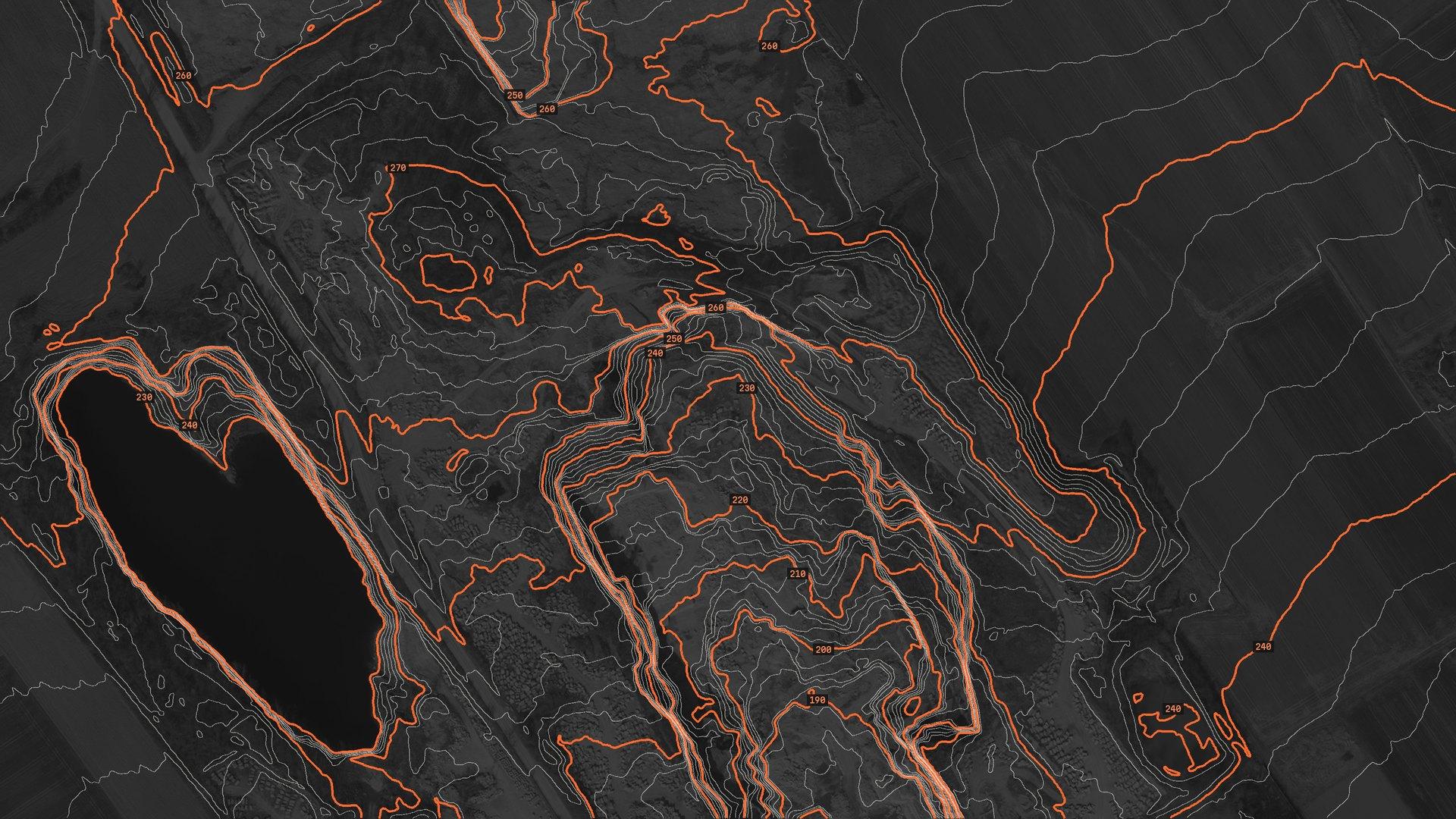
DTM · 2 m contours · GUGiK data, near StrzegomEPSG:2180
Why from the air
A dense terrain model, without climbing the stockpile.
Completeness
Every exposed surface is captured, not just the points someone could reach with a survey pole. Far fewer trips back to fill gaps.
Safety
Nobody climbs a stockpile, a roof or an embankment. We work from a safe distance, usually without halting work – after a short briefing for the crew.
Speed
Up to roughly 50 ha can be flown in a day, weather and airspace permitting. You get a delivery date with the quote.
Repeatability
The same flight plan every week or every month, so changes on site line up layer by layer.
Services
Data for every stage of the project.
Scope is matched to the job – from a one-off orthophoto to recurring construction monitoring.
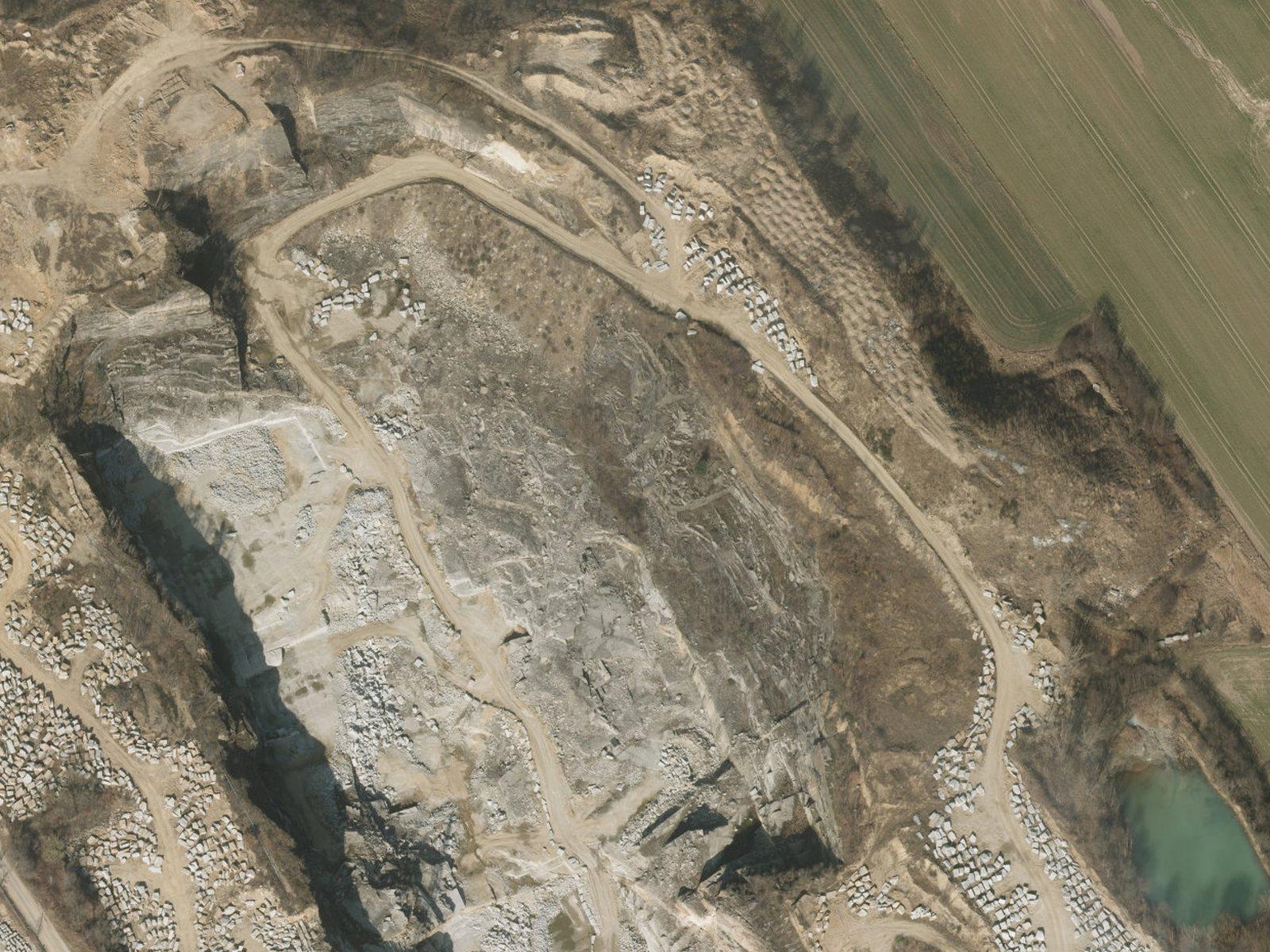 01 / 07Illustration: data © GUGiK
Orthophotos and terrain models
An orthophoto in the coordinate system you choose, digital terrain and surface models (DTM/DSM) and contours – working data for designers and developers. Work that goes into the official survey records (design base maps, as-built surveys) is carried out by a licensed surveyor – we deliver it with a licensed partner.
- GeoTIFF
- DTM / DSM
- DXF
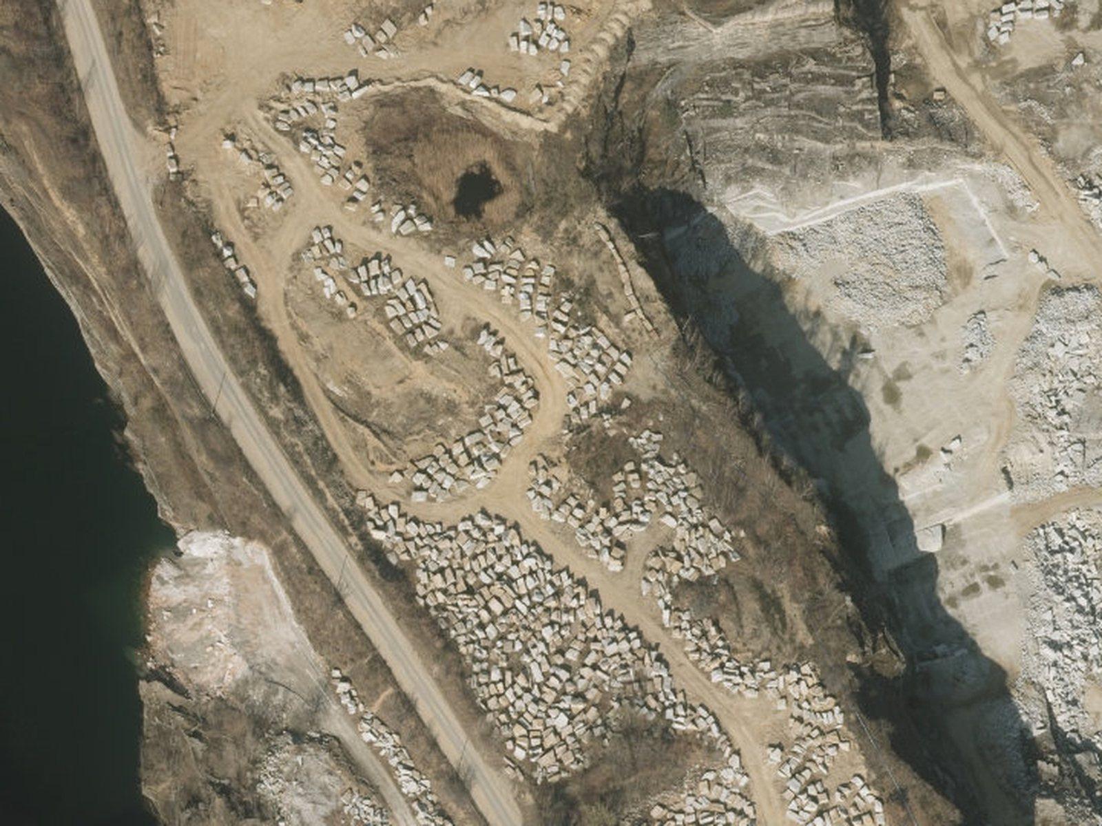 02 / 07Illustration: data © GUGiK
Volume measurement
Volumes of stockpiles, excavations and landfills computed from a surface model – for stock counts without anyone climbing the pile. At mines we work alongside the mine surveyor.
- m³ report
- CSV
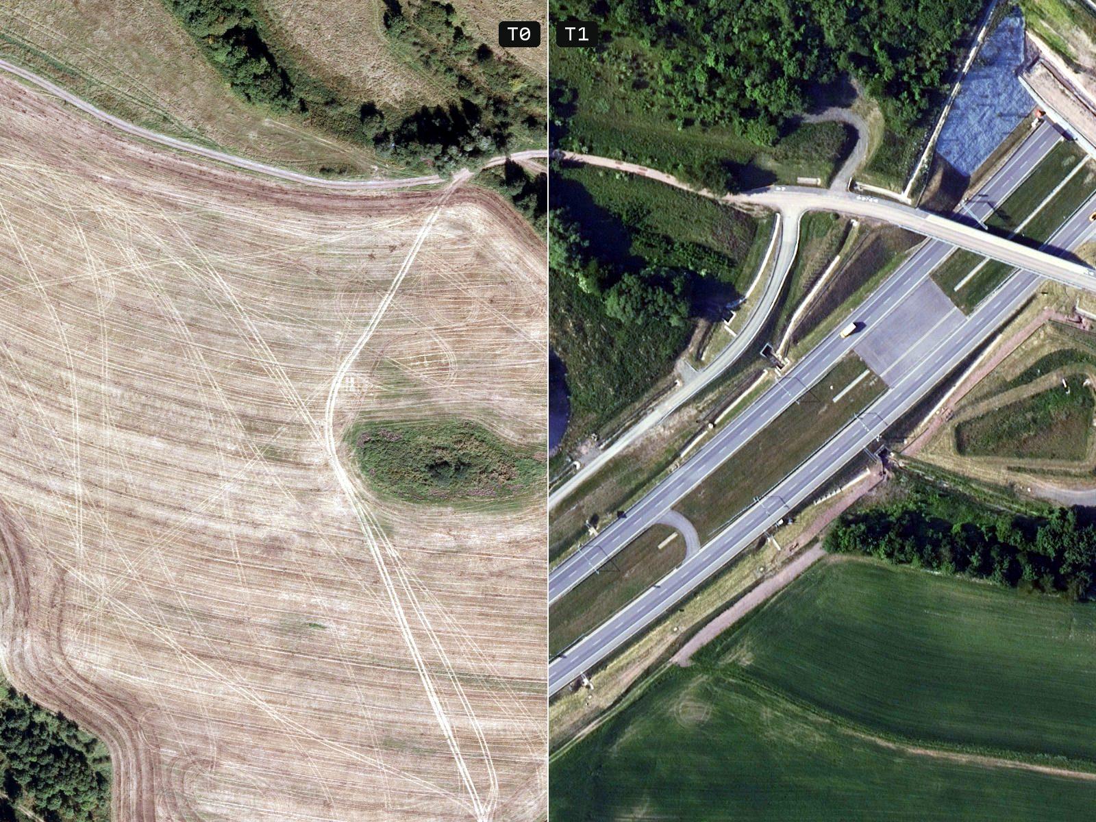 03 / 07T0 / T1: earlier and current GUGiK orthophoto
Construction monitoring
Regular flights on the same plan: an orthophoto series, progress comparisons and a record for the developer, the bank and the site manager.
- Ortho series
- Comparisons
- PDF report
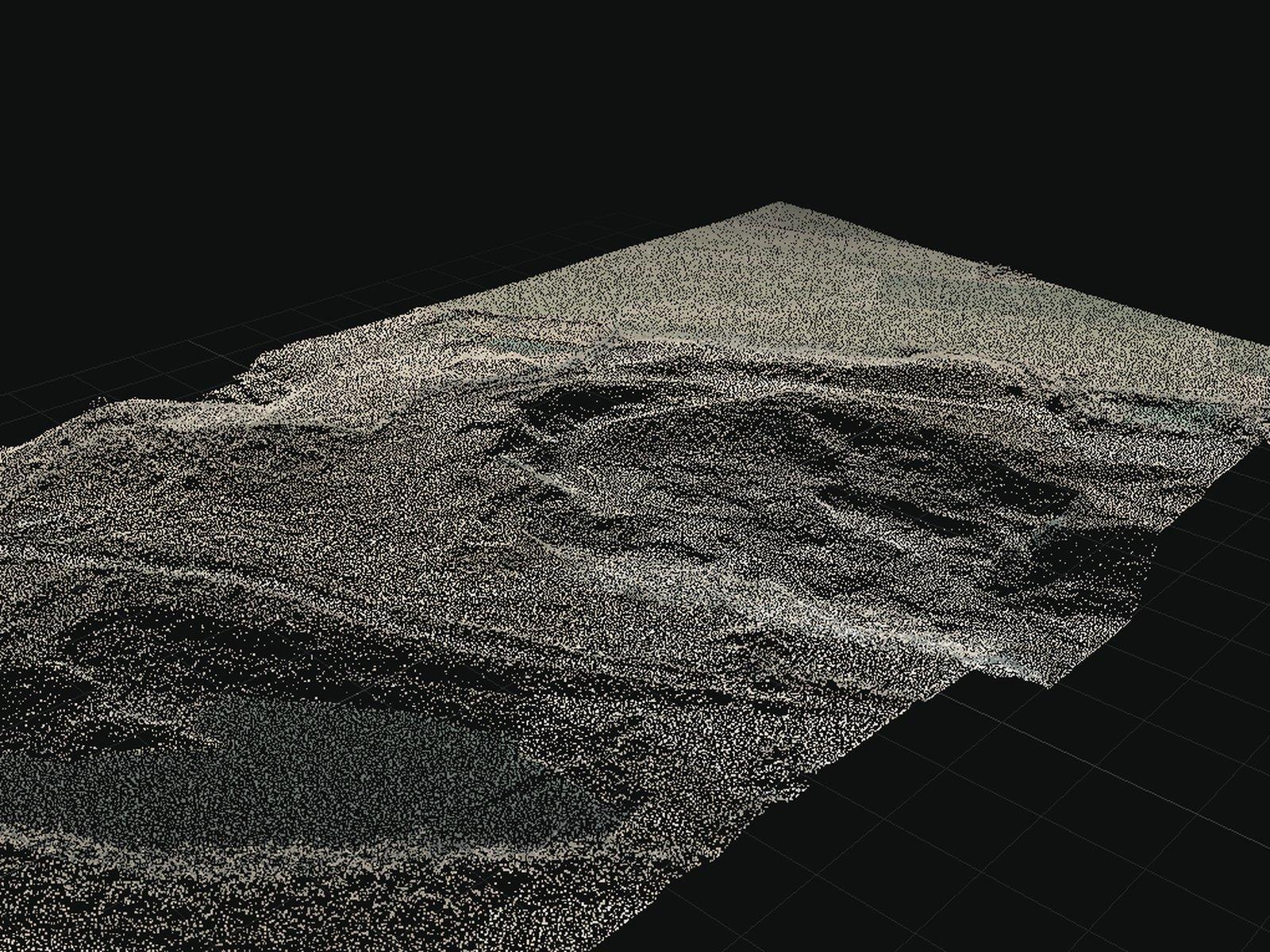 04 / 07Illustration: data © GUGiK
3D models and point clouds
Photogrammetric point clouds and textured meshes of buildings, structures and terrain.
- LAS / LAZ
- OBJ
- 3D Tiles
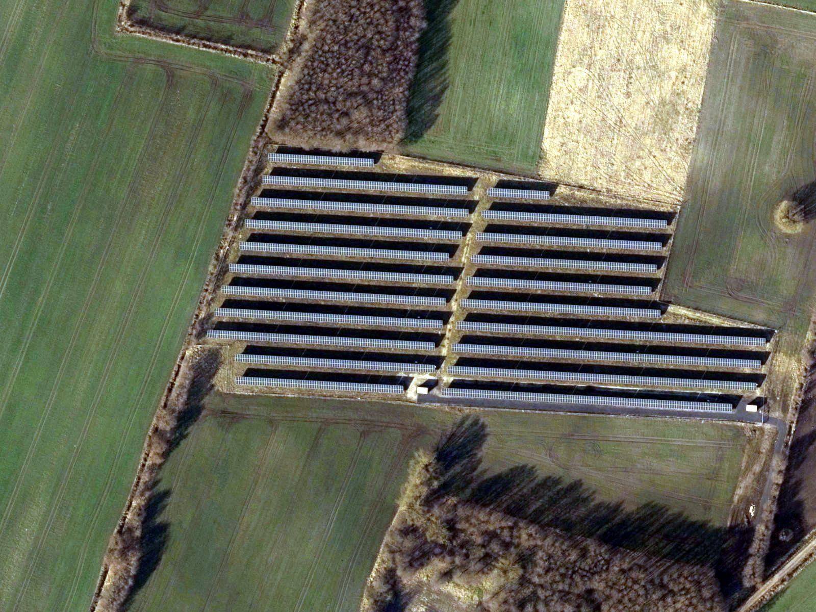 05 / 07Illustration: data © GUGiK
Visual roof, facade and solar inspections
Detailed photos from a safe distance with zoom cameras, without scaffolding or access platforms: roofing, chimneys, facades and photovoltaic panels. RGB only – no thermal imaging. The photo report of visible damage is material for review by a qualified inspector.
- 48 MP zoom photos
- Photo report
- Defect locations
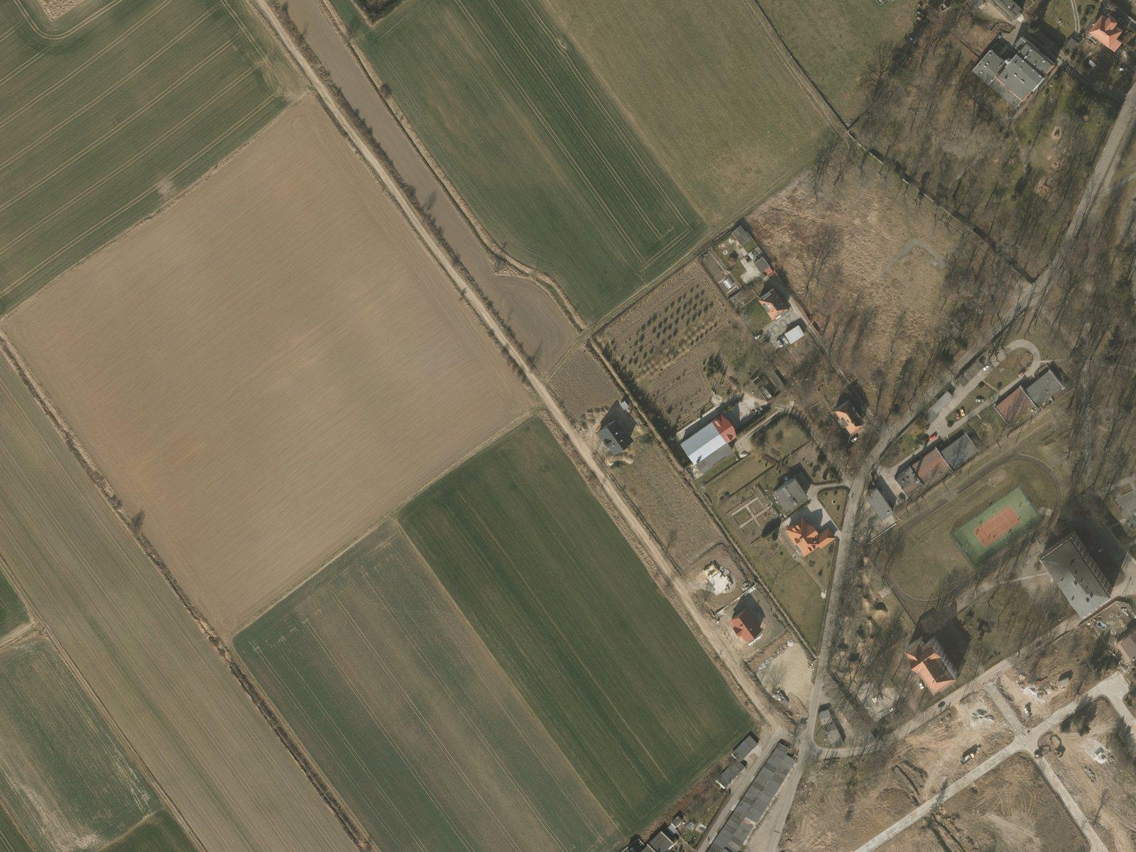 06 / 07Illustration: data © GUGiK
Agriculture and land
Crop outlines and areas (indicative – not legal boundaries), crop-damage documentation for insurers and supporting material for land valuation.
- SHP / KML
- Areas
- Damage record
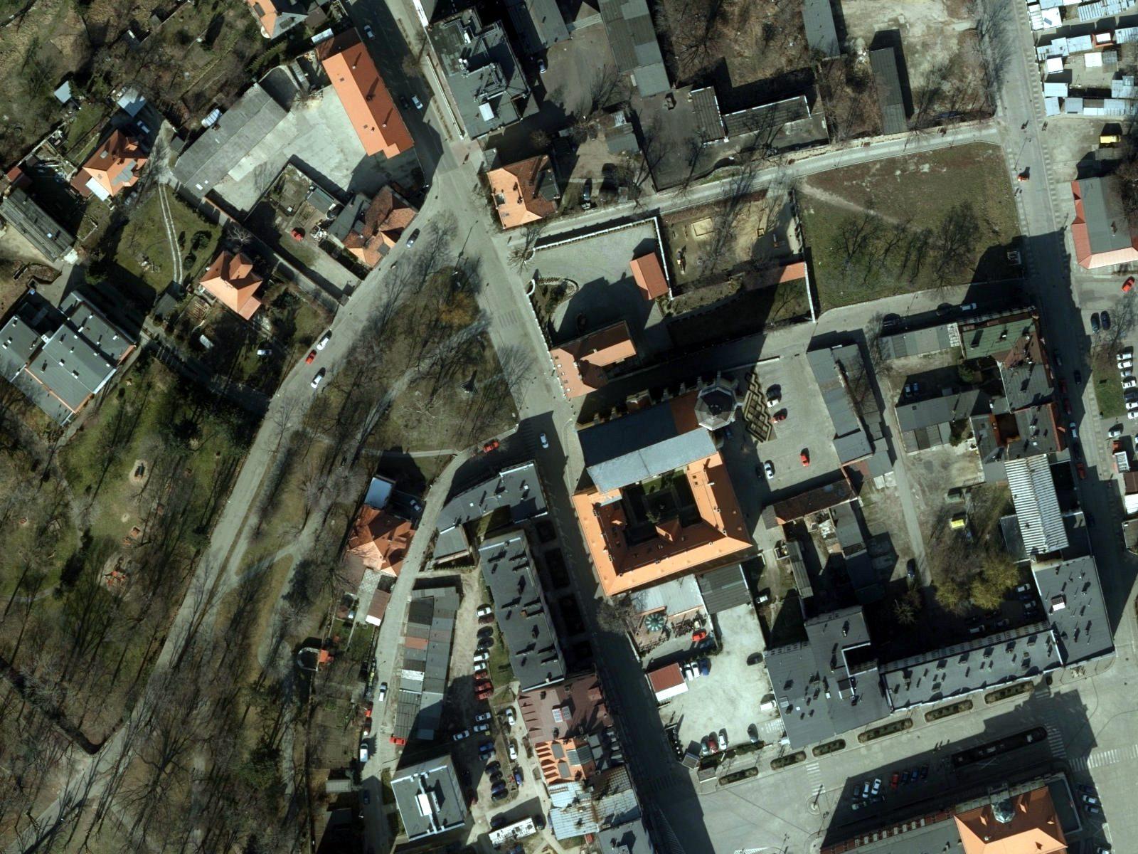 07 / 07Illustration: data © GUGiK
Aerial photo and film
Stills and 4K video of developments, properties and land for sale.
- 4K video
- RAW stills
- Edited film
Sample data
Four layers of one site.
Drag the handle to compare the orthophoto with each processed product.
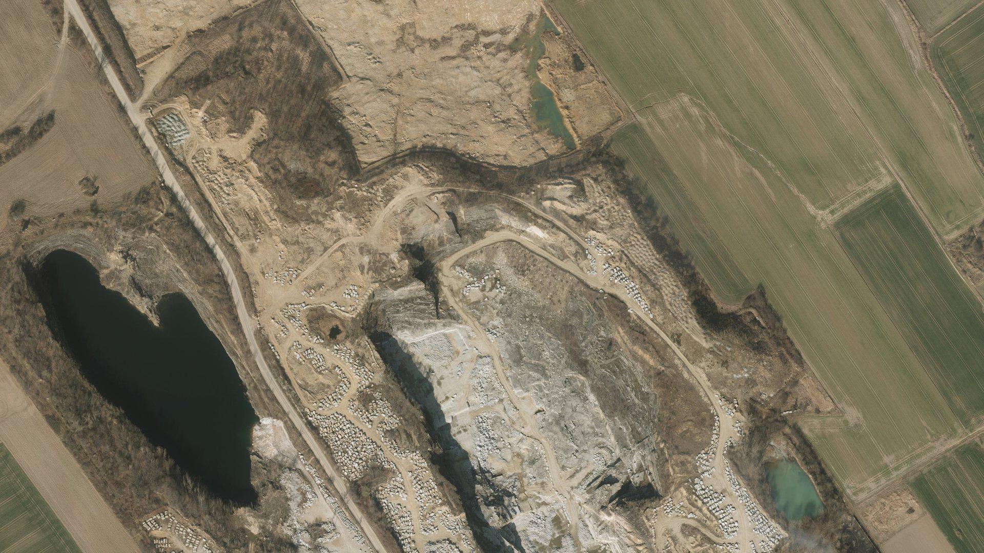
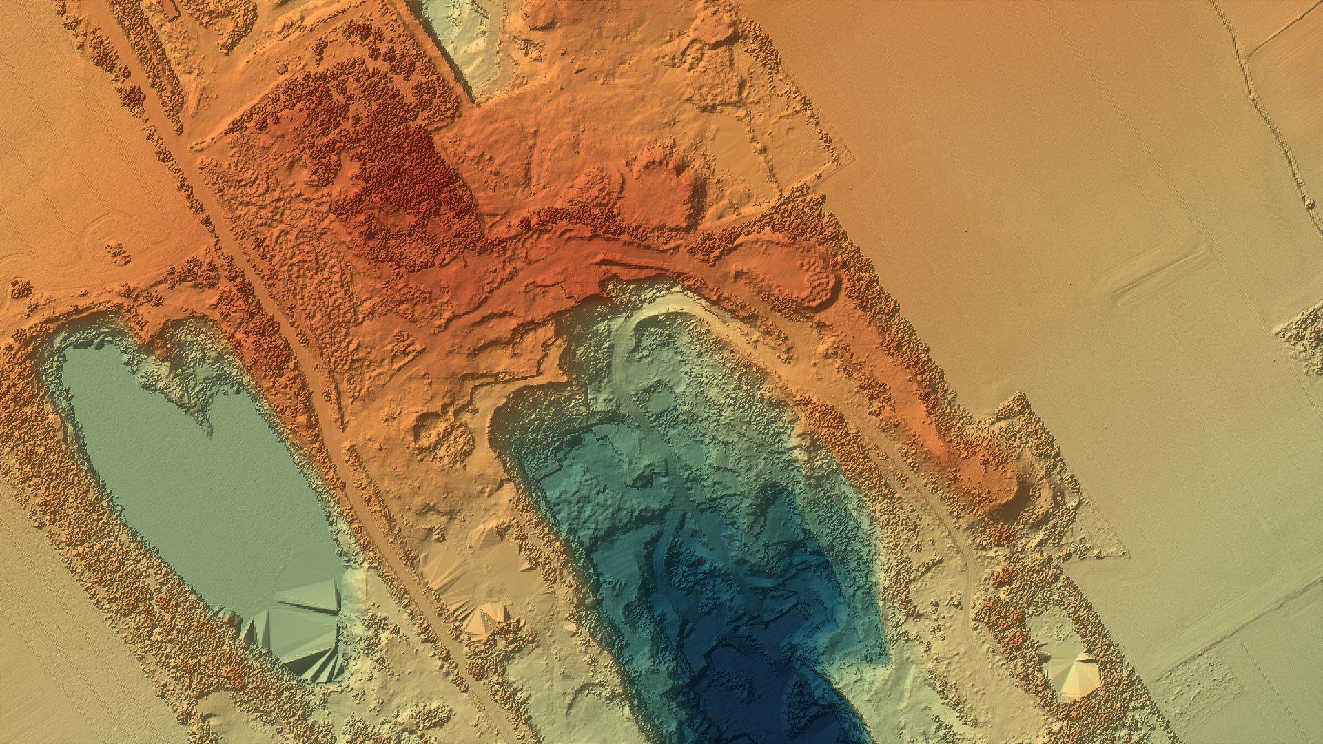
Surface model
DSM · 32-bit GeoTIFF
The height of the ground plus buildings and vegetation. The basis for volumes and cross-sections.
Shown here: public GUGiK data (DSM 0.5 m, DTM 1 m). From our flight: an orthophoto at about 2–3 cm/px and a DSM on a 5–10 cm grid; the terrain model is reliable only on open ground.
How it works
From a map pin to finished files.
- 01Form or phone
Brief
Mark the site on a map and tell us what you need. We send back a price and a date.
PIN · EPSG:2180© GUGiKortho_2176.tif420 MBcloud.laz310 MBdtm_contours.dxf4.8 MBreport_accuracy.pdf1.6 MB - 02Zones · approvals · plan
Flight plan and approvals
We check airspace zones, apply for any required approvals and design the flight: altitude, overlap and ground control.
AGL 87 m · 75/65%© GUGiKortho_2176.tif420 MBcloud.laz310 MBdtm_contours.dxf4.8 MBreport_accuracy.pdf1.6 MB - 03RTK · GCPs · 75/65% overlap
Flight
We lay out a few ground control and check targets and measure them with GNSS. The drone then flies the planned route automatically with RTK positioning and fixed overlap; its mechanical shutter keeps every photo sharp.
12 × 18 · 216 IMG© GUGiKortho_2176.tif420 MBcloud.laz310 MBdtm_contours.dxf4.8 MBreport_accuracy.pdf1.6 MB - 04Accuracy check
Processing
Aerotriangulation, point cloud, surface model and orthophoto, checked against independent check points.
AT · GCP / CP© GUGiKortho_2176.tif420 MBcloud.laz310 MBdtm_contours.dxf4.8 MBreport_accuracy.pdf1.6 MB - 05PL-2000 · EOV · S-JTSK
Delivery
Files in the coordinate system and format you need, with a short accuracy report.
EPSG:2176 · PL-EVRF2007-NH© GUGiKortho_2176.tif420 MBcloud.laz310 MBdtm_contours.dxf4.8 MBreport_accuracy.pdf1.6 MB
Flight calculator
See how long your site takes to fly.
An estimate for a 20 MP Four Thirds mapping camera with a mechanical shutter, at up to 15 m/s. 3D models also need oblique photos, and larger sites are split into several take-offs so the drone stays in sight. Final parameters follow the accuracy you need.
Product
Ground sample distance: 2.7 cm/px. Flight time: 12 min. Photos: 240.
Coverage
Poland, Hungary and Slovakia.
We deliver in the coordinate system your designer or surveyor works in: PL-2000, EOV or S-JTSK. We speak Polish, Hungarian and English – with Slovak clients in English or Hungarian.
- PLPolandPL-2000 · PL-1992 · PL-EVRF2007-NH
- HUHungaryEOV · EOMA
- SKSlovakiaS-JTSK (JTSK03) · Bpv
Questions
Before you call.
Do I need permission for a flight over my site?
We fly in the EU open category (subcategory A2, C2-class drone). Before every flight we check the geographical zones: in Poland in DroneMap (near airports we file the flight in DroneTower), in Hungary we file the flight in MyDroneSpace, in Slovakia we check the LPS SR map. If a zone needs approval, we apply for it ourselves – that can add a few days, sometimes weeks. On mine premises we agree the flight with the mine manager.
How accurate is it?
On hard, open ground with GNSS-measured ground control and a GSD of about 2 cm, the RMSE on independent check points is typically 2–4 cm horizontally and 3–6 cm in height. The drone also records an RTK position for every photo; we still measure a few ground control points, because RTK on its own can leave a height offset. Under vegetation, photos cannot measure the ground. The result for your site is stated in the report.
Does this replace a surveyor?
Not for everything. Work that goes into the official survey records – design base maps, as-built surveys – is carried out and filed by a licensed surveyor; we deliver it with a licensed partner. We don't do setting-out or boundary work. For volumes, progress monitoring or concept design our survey is usually enough; if the result is used for settlements with authorities or for official mine records, a licensed surveyor or the mine surveyor is needed. In Slovakia this work is done by an autorizovaný geodet a kartograf.
What exactly do I receive?
Whatever your team works with: GeoTIFF, LAS/LAZ, DXF, SHP, OBJ and a PDF report with volume tables. Files are delivered in the coordinate system you choose.
How long does it take?
The flight is usually a single site visit. Processing time depends on area and scope – the quote includes a specific date.
What about the weather?
We don't fly in rain, fog or strong wind. If the weather rules a flight out, we agree a new date.
How much does a survey cost?
Price depends on area, deliverables and travel. Mark the site and tell us what you need – we'll send a concrete quote.
Got a site to survey? Send us the location.
We send back a price and a date. Or simply call.